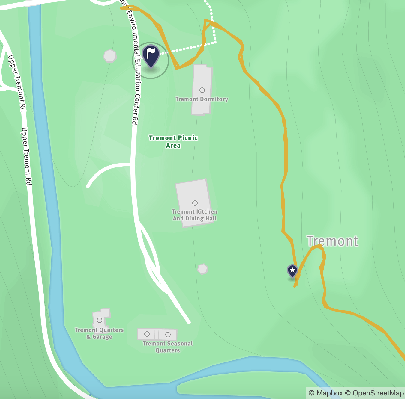
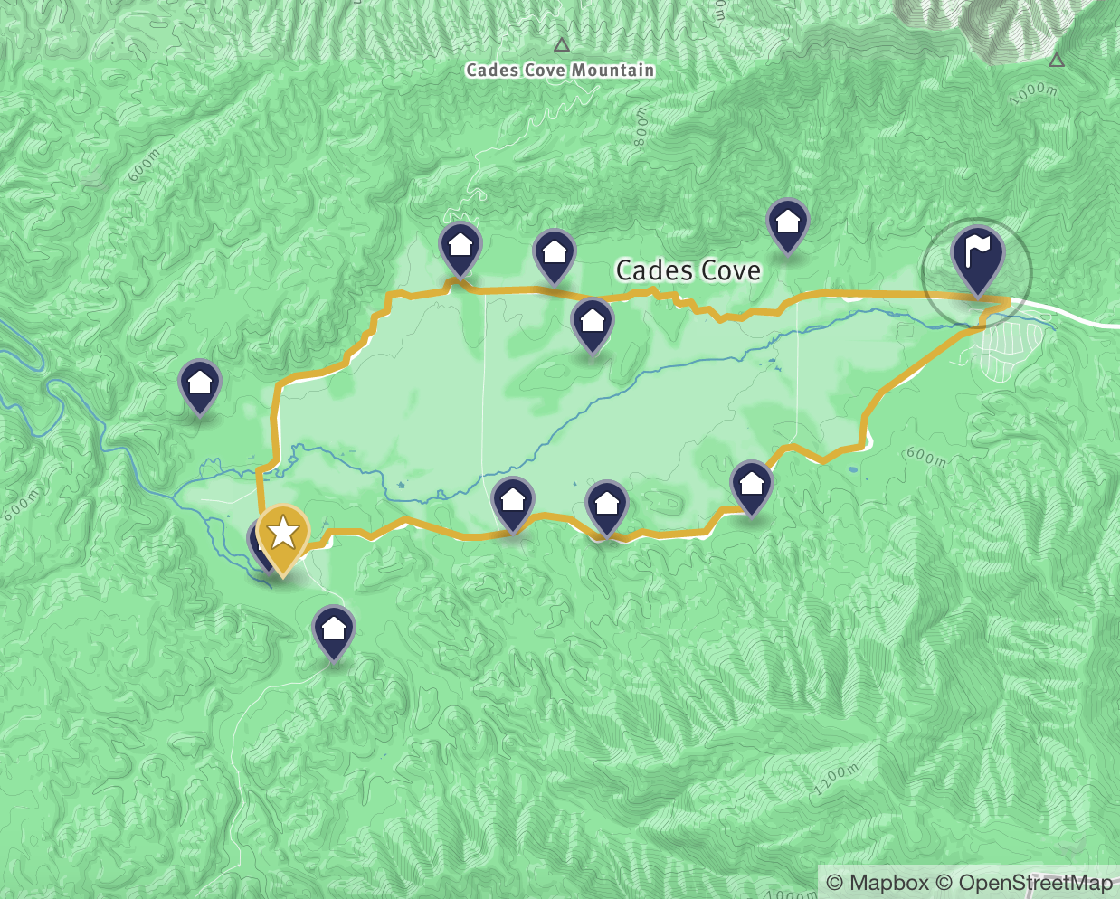
Photos and hiking maps featured in the Compass & Key travel guide to Great Smoky Mountains National Park
Hover over images for more information, and click to reach the corresponding itinerary or other page for exploring the Smokies.
Spruce Flats Falls Trail
You'll start at the Lumber Ridge trailhead at the Great Smoky Mountains Institute at Tremont. Follow the gravel road up to the housing area and look for the "Falls Trail" marker. This is a bit tricky to find.
Spruce Flats Falls Trail
Climb to a crest where you'll have partial views of Blanket Mountain. Here the trail heads downhill towards the falls.
Spruce Flats Falls Trail
Upon reaching Spruce Flats Falls, notice the four tiers, with the tallest reaching over 20 feet. Wade in the small or large pools at the bottom of each tier and keep an eye out for salamanders.
Kephart Prong
Honor one of the most vocal advocates for the park, Horace Kephart, along his namesake trail. After an early morning visit to Clingmans Dome, drive 30-minutes to Kephart Prong Trail and find the small parking area, which can fill up quickly in the spring and summer.
For more information about Horace Kephart, click here.
Kephart Prong
The trail crosses the Oconaluftee River six times ('prong' in the trail name means a bend in the river) with footbridges that are sturdy, but narrow. As demonstrated here by my balancing act, crossing one at a time is encouraged. As for the trail, it's mostly an old road with patches of eroded pavement.
Kephart Prong
We love this trail because it highlights the legacy of the Civilian Conservation Corps (CCC), a federal work project that employed young men during the Depression and developed critical infrastructure for the park. 4,000 CCC workers were assigned to the Smokies, and along Kephart Prong Trail you will find remains of a CCC camp active from 1933-1942, including this chimney. Look for other remains: a signboard, water fountain and pipes for a fish hatchery.
Kephart Prong
The hike ends upon reaching the Kephart Prong shelter, where you may find overnight campers. There is a picturesque area just beyond the shelter by the water for a picnic lunch. If you're interested in further exploration, there are two trails that extend beyond Kephart Prong.
Clingmans Dome
Once at the parking lot, you have a steep, half-mile climb on a paved trail to a spiral ramp and observation tower with panoramic views. The signs explain the views from every direction which, on a clear day, can extend 100 miles. Bring layers, as the temperature here can be 10-20 degrees (F) colder than the lower areas.
Clingmans Dome
The views extend beyond the observation tower. Even the parking lot offers scenic views of the park, as shown above. Finally, do not miss the opportunity to tread the Appalachian Trail, which crosses Clingmans Dome and marks the highest point along its journey from Georgia to Maine.
Cades Cove
Located about an hour's drive from Gatlinburg, try to arrive early to beat the crowds (it's open sunrise to sunset) but note that car traffic is not allowed until 10am on Sundays and Wednesdays from May through September. Pick up the inexpensive self-guided booklet at the entrance to the road and you're on your way!
Cades Cove
This broad valley is home to the widest variety of historic buildings in the park, as well as providing the best opportunity to view wildlife including deer, black bear, coyote, turkey and other animals. European settlers first arrived around 1820 and began building log homes, barns and smokehouses while clearing land for farming the rich and fertile land.
Cades Cove
Cades Cove was home to 685 families by 1850. The John P. Cable Grist Mill, shown here, was among several water-powered mills serving residents. You'll find it behind the Cades Cove Visitors Center, located around the midway point of the loop. Take time to park the car periodically as you loop Cades Cove to try and imagine families living and working the land in the 19th and early 20th centuries.
Hen Wallow Falls Trail
Get an early start and drive to Cosby Campground in the Northeast side of the Smokies (about 40 minutes from Gatlinburg). There are several areas to park. Start the hike from the trailhead for Gabes Mountain Trail.
Hen Wallow Falls Trail
Enjoy criss-crossing several creeks as you continue the hike. There are several steep inclines and the path is heavily rooted at times.
Hen Wallow Falls Trail
Look for the Hen Wallow Falls trail split and be ready for the steep, rugged switchbacks to the falls. You've earned a rest and the picnic lunch you brought! You can also check out the small cave just to the right side of the falls.
Hen Wallow Falls Trail
If you are interested in continuing your hike past Hen Wallow Falls, you can continue to follow Gabes Mountain Trail. Alternatively, you'll see several trailheads leaving from Cosby Campground when you return from the falls. Check out the easier 1.1-mile self-guided Cosby Nature Trail (shown here) for wildflower viewing.
Smokies Outtakes
Pradeep loves to climb. In this case, it's within arms reach of Spruce Flats Falls.
Smokies Outtakes
Okay, okay, so we only walked a few feet of the Appalachian Trail. Still, we thought it important that we were there.
Smokies Outtakes
All geared up and ready to continue our day after a beautiful morning at Clingmans Dome.
Smokies Outtakes
The festive decor at the entrance of the Lodge at Buckberry Creek. While the November 2016 fire destroyed most of the Lodge, the owners found a rocking chair that will have a special place in the new lodge, according to the owners.
Before You Go
First Stop-Visitors Center
Our first stop is always a National Park Visitor Center. There we connect with a Park Ranger to check if there are any trail closures due to bear sightings or maintenance work and ask about their favorite hikes to add to our list. We also review schedules for tours and Ranger talks and pick up maps, guidebooks, snacks, and gifts.
In the Smokies, the primary visitor centers are Sugarlands near the north entrance and Oconaluftee near the south entrance.
photo courtesy of NPS
Before You Go
Be Bear Aware
At Compass & Key, we love our furry friends found in the wild and we do our best to keep them (and us) safe during our visit. The Smokies is one of the largest protected areas in the eastern U.S. where an estimated 1,500 black bears live. Do not approach a bear within 50 yards (150 feet), or any distance that would disturb the bear (it is illegal after all). Make sure to read the helpful NPS guide on what to do if you should encounter a bear and report all incidents to park officials. Wildlife viewing is an incredible experience, even from a distance.
photo courtesy of NPS
Before You Go
Leave No Trace
Great Smoky Mountains, as with all of our National Parks, is a treasure that we should preserve for future generations. Compass & Key reminds you to do the following: leave nothing along the trail or at the campsite, regardless of how small; follow the main trails; don't pick wildflowers or any plants; do not deface any natural or manmade feature with carvings or markings; and only use designated campsites and campfire rings.
For more information, visit the Leave No Trace Center for Outdoor Ethics.
